Direct geocoding is the process of converting an address or a place name into geographic coordinates (latitude and longitude). This is typically done using a geocoding service or API, which can interpret the provided address and return the corresponding coordinates
Available for AutoCAD, BricsCAD, ZWCAD, GstarCAD and Desktop
Steps of getting the location for a list of addresses
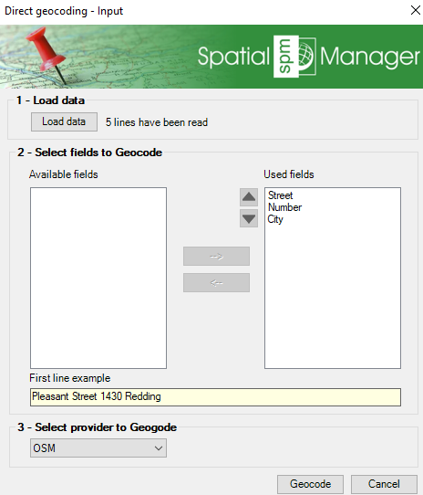
1. Input data
- Execute SPMGEOCODING_DIRECT command (in Spatial Manager Desktop go to Start/Search Location/Reverse Geo-coding)
- Select a text file (CSV) and the field separator (comma, semicolon, space, …)
2. Select fields
- Add the fields for compound the text for geo-coding process and sort them
3. Geocoding service
- Select the provider between Bing, Google and OpenStreetMap (some of them may require an API key)
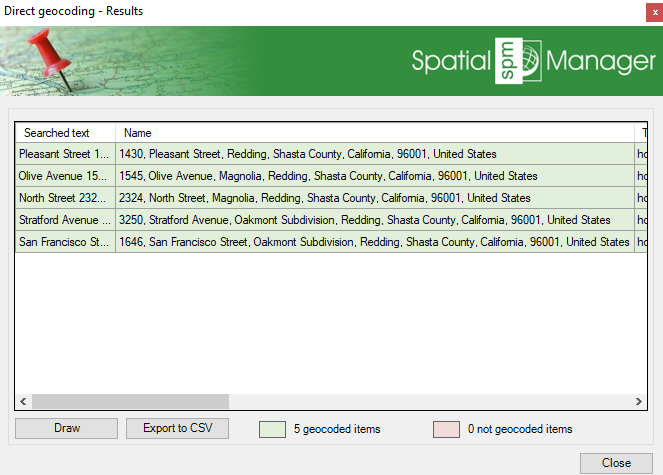
4. Coordinate retrieval
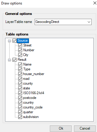
- Review the resulting coordinates, export to CSV or insert to the current document
- Select the source fields and add additional data obtained during the geocoding query
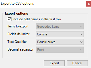
- Export to CSV, selecting header, separators, …
Note: Some functionalities can be found in the Standard or Professional editions only


