Reverse geocoding is the process of converting geographic coordinates (latitude and longitude) into a human-readable address or place name. This is typically done using a reverse geocoding service or API, which can interpret the provided coordinates and return the corresponding address details
Available for AutoCAD, BricsCAD, ZWCAD, GstarCAD and Desktop
Steps for getting address data based on a set of points:
1. Input data
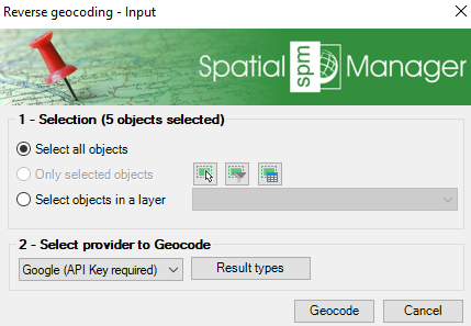
- Execute SPMGEOCODING_REVERSE command
- Select the points
2. Geocoding provider
- Select the provider between Bing, Google and OpenStreetMap (some of them require an API key)
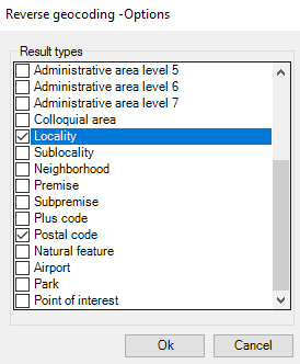
- You can select specific result types according the type of elements you want to search data for
3. Data retrieval
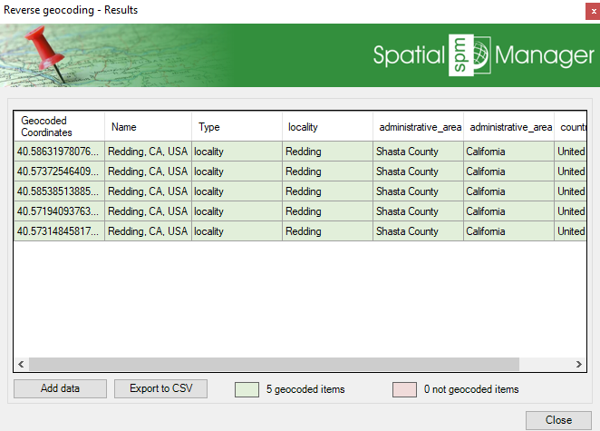
- Get the data related to each coordinate
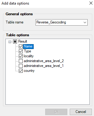
- You can append to the existing objects data table
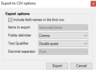
- Or export to CSV
Note: Some functionalities can be found in the Standard or Professional editions only
