Such actions can be intelligent view changes, advanced selection of drawing objects or adaptation of geometries by means of elastic deformation
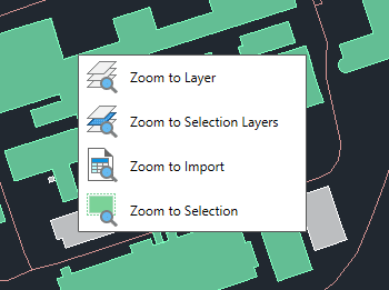
Changes of view New V9
Zoom to the objects on the selected layers, to the objects on the layers of selected objects, to the objects resulting from the last import process or to the selected objects
Inverse Selection New V9
Select objects that are not selected in the drawing and deselect those that are selected.
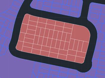
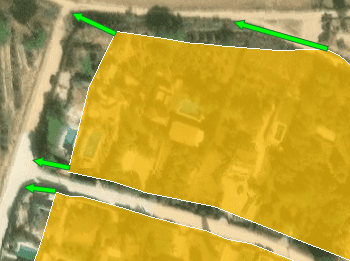
Rubber sheet New V9
Allows you to geographically align two or more graphic datasets by selecting coordinate matches between them
* Only available in Professional edition
Spatial Manager have some utilities for working with terrains and elevations, one of them allows to search elevations for existing points. Doing some steps it is possible to create a... more
Google Earth internally works with meters as elevation units and this can be an obstacle when feet are the desired measurement units. This tutorial explains an easy workaround for viewing... more
This article explains how to start a drafting or design project using a Google Earth imagery base. It provides step-by-step instructions on how to overlay drawings, plans, or architectural projects... more
Rubber sheeting refers to a method in mapping and surveying where a map or spatial data is adjusted or “stretched” to align with a reference map or coordinate system. This... more